Aring: A Historic Town on the Mathura-Govardhan Road
Explore the history of Aring, a Mathura-Govardhan road town known for its 1857 rebellion ties, administrative significance, and current electoral profile.
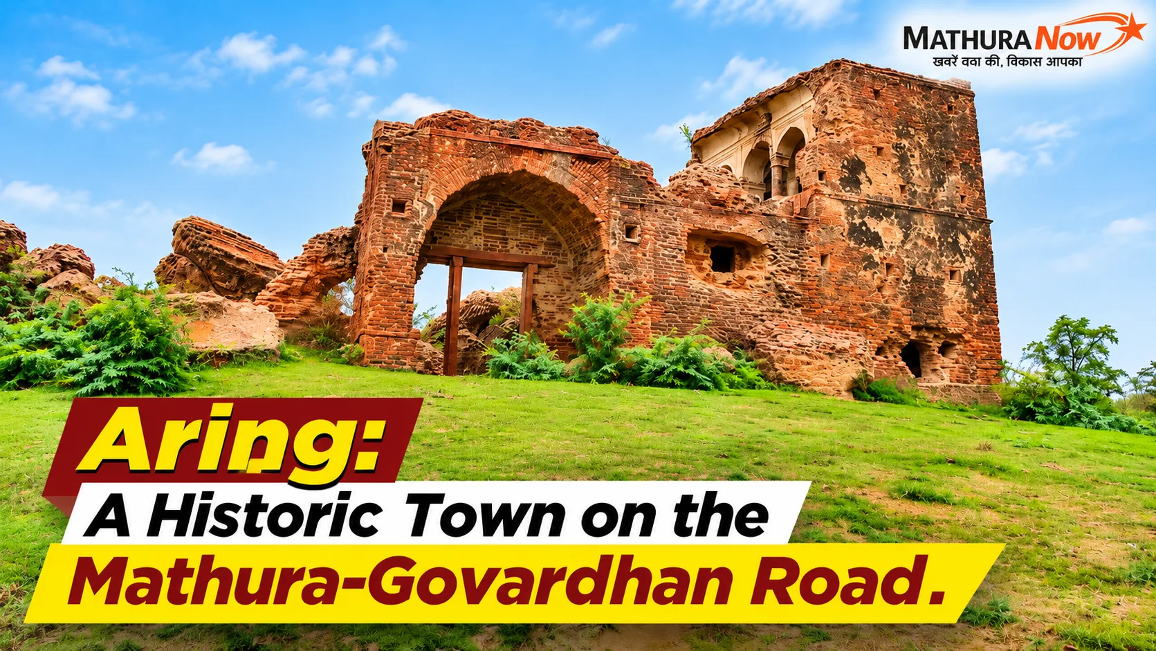
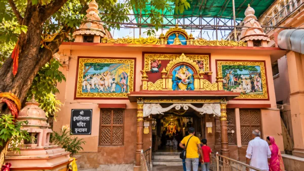
Aring, November 1, 2026: Aring is situated on the Mathura-Govardhan road, a location recognized for both its mythological roots and its historical connection to the First War of Independence in 1857. According to local folklore, the town’s name originates from a legend involving Lord Krishna and the demon Arishtasura. As the narrative goes, after Lord Krishna defeated the demon, who had taken the form of a bull, he playfully demanded milk and butter from the local Gopis. This insistent demand, referred to as ‘ad’ or ‘zid’ in the local dialect, is said to have provided the name ‘Aring’. Linguistically, some historians trace the origin to the term ‘Arishtagram’, which evolved into the current name through the influence of Braj dialects.
Historical Significance and 1857 Uprising
The town holds a significant place in the history of the 1857 uprising. A historic mound in Aring serves as a memorial to 70 individuals who were martyred during the conflict. On May 30, 1857, local revolutionaries intercepted a British government treasury convoy traveling to Agra, seizing approximately 4.5 lakh rupees. The revolutionaries also succeeded in freeing their comrades from a British prison. In response, colonial forces killed 22 landlords in the nearby village of Sarai before besieging Aring. Following the siege, British authorities captured 70 Thakur freedom fighters and executed them by hanging on the local historic mound without trial. Today, historians and local residents continue to advocate for the construction of a formal memorial at this site to honor the martyrs.
Also Read: Mathura-Vrindavan Municipal Corporation Reviews Proposal to Rename Five City Landmarks
Administrative and Geographical Context
Aring has historically served as a key administrative center. It was one of the five major parganas in the Mathura region, alongside Sonsa, Saunkh, Farah, and Govardhan. This territory was governed by Tomar (Kuntal) Jat rulers, specifically Raja Anup Singh and Fauda Singh. Evidence of this historical era remains in the form of a haveli built during the period of Raja Surajmal of Bharatpur. Administratively, Aring functions as a center within the Govardhan tehsil of Mathura district. The Aring sub-post office operates with the PIN code 281501, managing mail distribution for a network of villages including Beri, Gantholi, Konai, Kunjo, Madhuri Kund, Makhdum Pur, Palsan, and Sakatpur.
Demographics and Electoral Profile
Data from the Election Commission of India and local analysis indicates that the village of Aring has between 10,200 and 10,800 registered voters. According to the 2026 electoral roll, there are approximately 10,500 total voters, consisting of about 5,600 men and 4,900 women. Given this population size, more than 10 polling booths have been established, primarily housed within the library building and local primary and upper primary schools. Proportional analysis suggests the total population of the village stands at approximately 17,500 to 18,000, aligning with 2026 growth projections. The village falls under the 83-Govardhan Assembly Constituency and the Mathura Parliamentary Constituency. During the recent Special Intensive Revision campaign, officials updated electoral rolls by removing names of ineligible individuals under the ‘ASD’ list—those absent, shifted, or deceased—while adding new youth voters who have attained the age of 18. Additionally, a community-managed gaushala is located near the Aring canal.
In this story

News Desk
Editor
MathuraNow News Desk is the official editorial team of MathuraNow, covering hyperlocal news, Braj culture, temple affairs, civic developments, spirituality, festivals, public…
Get Mathura's latest news on WhatsApp
Breaking news and important local updates, straight to your phone
Join channel